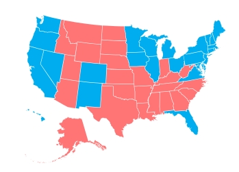
 Larry Yudelson turned us on to Stately, a cool map font. With stately, you can make a map of the US or any part of the US and control each state with plain CSS. Nice. Each state in Stately is a separate glyph (e.g., Alabama is “A”), all the glyphs overprint each other, and share the same bounding box. Which is an elegant solution to the problem of positioning the states. It just means that you cannot hyperlink the states or use hover effects.
Stately is a fine solution for infographics, particularly those that need to be updated frequently or by a script. But not for interactive web maps.